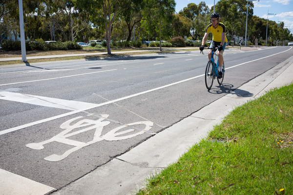
Whittlesea cyclists are being urged to pinpoint the locations where they feel safe and unsafe on a new online map.
The council has joined the BikeSpot project, which aims to capture the locations where Victorian riders feel safe or unsafe and why.
The program, supported by the Department of Transport, will help gain insights into priority road safety improvements – reducing traffic incidents and injury, and increasing both rider and driver confidence.
Riders are encouraged to pinpoint locations they feel safe and unsafe on an interactive map and vote and comment on high and low stress spots that are added to the online map by other users.
The council said the project was important, given the number of additional riders taking the opportunity to get out and about during lockdown.
To date, close to 30 locations across Whittlesea have been marked on the map.
Cyclists have listed roads such as Harvest Home Road, Epping Road, Findon Road, Bush Boulevard and Plenty Road as unsafe.
Some of the most common concerns raised by Whittlesea cyclists included narrow or unsafe bicycle lanes and blocked cycle paths.
To have your say, visit: https://bikespot2020.crowdspot.com.au

