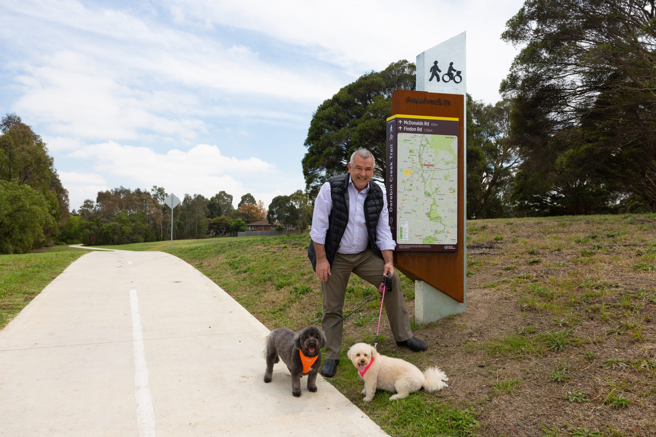
Exploring the Darebin Creek Trail is about to get easier after new signs were installed along the Whittlesea section of the path.
The Whittlesea part of the trail –spanning 12 kilometres – was completed late last year and is a shared path for walking, cycling and running.
Three sign types have been installed along the route – maps, directional and trail identity.
The map-based signs have been formatted to work with free smartphone app Avenza PDF Maps which allows users to download the map by scanning a QR code on the sign. The app allows people to see their location on the map using their phone.
Trail identify signs have been placed at road intersections to alert drivers that pedestrians and cyclists may be crossing the road.
Mayor Lawrie Cox said the warmer weather and longer days were a great opportunity to get out and about.
“The maps include information about suggested walking routes, the location of public toilets, seats and water fountains, as well as preferred road crossing points,” he said.
“They also include the on and off-road cycling routes, connection to and from the trail and direction signs include distances and walking times in minutes to help you plan your walk, run or bike ride.”

