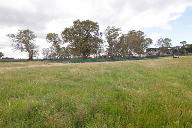
A guide to local flooding ‘hotspots’ has been released for Whittlesea.
The guide has been produced by the SES, in partnership with the council and locals, and covers susceptible areas in Whittlesea, Yan Yean, Mernda, Epping, Mill Park, Lalor, Thomastown and Bundoora.
It gives detailed information about local flood risks, including maps, historical flood information and a list of local contacts and emergency broadcasters.
The guide also contains information about how to prepare and respond to a flood and what to do afterwards.
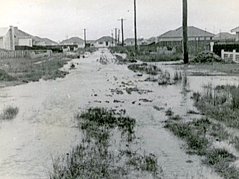
A council spokeswoman said the municipality had a history of flooding, including a significant flood in 1974 that affected the township of Whittlesea and vast rural areas.
“Like most emergencies, the lead time to respond to a flood event may be limited, so the SES and council want all households and businesses at risk of flooding to develop an emergency plan and be aware of their flood risk.”
The Whittlesea Township Guide can be downloaded from the SES website: www.ses.vic.gov.au at http://bit.ly/1lxCQ2g