WHITTLESEA is leading the push for a revamp of bushfire-prone zones that add thousands of dollars to the cost of home building and alterations.
It is lobbying the state government to cut back the zone – which imposes stringent building codes on new houses – covering most of the municipality north of Epping and South Morang.
The zone, imposed after the Black Saturday bushfires, introduced such measures as the use of non-combustible materials, toughened glass and seals.
The City of Whittlesea’s building services manager, Peter Phillips, said the development of several sub-divisions and housing estates had reduced the bushfire risk in “many parts of the region”. He said the council proposed lifting building restrictions in areas such as Bundoora, Mill Park, South Morang, Epping, Mernda, Doreen and Wollert.
The move could affect 17,000 existing or proposed houses.
He said the council had its “fingers crossed” that the government “will sign off the new bushfire-prone area map and reduce the financial impost for thousands of Whittlesea residents”.
Meanwhile, the bushfire-prone zone data that is used on the government’s Land Channel website shows glaring anomalies. Properties are identified as being in both bushfire-prone zones and non-bushfire zones, creating confusion for residents.
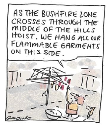
One Whittlesea property has the front half in a bushfire zone while its backyard is identified as being without fire risk. The anomalies appear to apply across the state.
Mr Phillips said: “Council is confident that the changes it has proposed will make it easier for Whittlesea property owners to understand the bushfire-prone mapping system and should rectify these anomalies.” To check the bushfire-prone zones go to: http://services.
land.vic.gov.au/maps/bushfire.jsp.
– Sue Hewitt


